Travel Mapping database update in progress. Some functionality might
not work. Please try again in a few minutes if you notice problems.
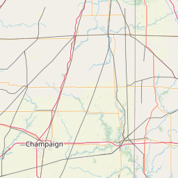
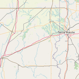
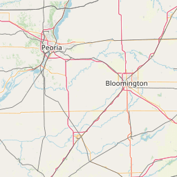
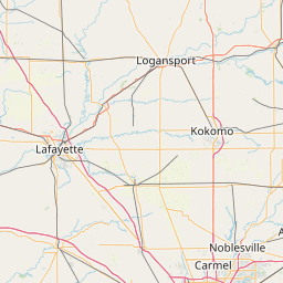
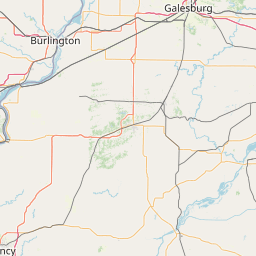
Puerto Rico Territorial Highways (usapr)
.list name: PR PR174
View Connected Route
| Route Stats |
|---|
| Total Length | 31.96 mi |
| Total Drivers | 0 (0.00%) |
| Waypoints |
|---|
| Name | % |
|---|
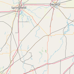
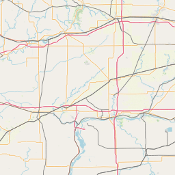
| MainSt_Wil | 1.69% |
| IL33 | 2.32% |
| CR6 | 2.32% |
| CR14 | 2.53% |
| HazDellRd | 2.53% |
| CR26 | 2.53% |
| MainSt_Cas | 4.01% |
| US40 | 3.80% |
| I-70 | 2.32% |
| CR31 | 2.32% |
| ClaRd | 2.32% |
| IL16_W | 4.22% |
| IL16_E | 1.90% |
| IL133 | 2.11% |
| 3rdSt | 2.11% |
| US36 | 2.11% |
| AllSt | 2.11% |
| CR200 | 2.11% |
| CR15 | 2.32% |
| US150_W | 4.85% |
| US150_E | 2.11% |
| I-74 | 2.32% |
| CR38 | 2.32% |
| E2500N | 2.32% |
| E2700N | 2.32% |
| US136_E | 4.64% |
| US136_W | 2.74% |
| E3550N | 2.74% |
| IL9 | 2.53% |
| E600N | 2.53% |
| E1000N | 2.53% |
| E1400N | 2.53% |
| US24 | 2.95% |
| E2400N | 2.95% |
| US45/52 | |
https://travelmapping.net/hb/showroute.php?r=pr.pr0174&lat=39.94799332064178&lon=-87.94328200000002&zoom=8