Travel Mapping database update in progress. Some functionality might
not work. Please try again in a few minutes if you notice problems.
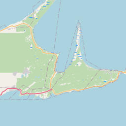
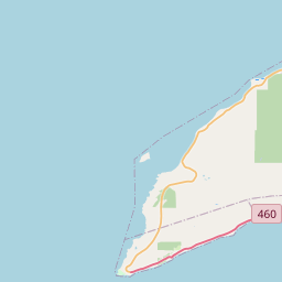
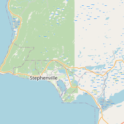
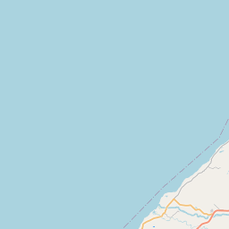
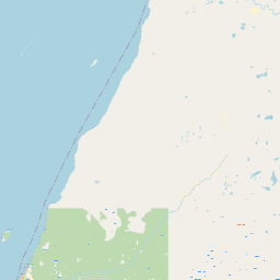
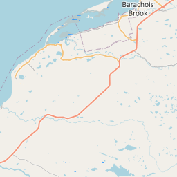
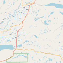
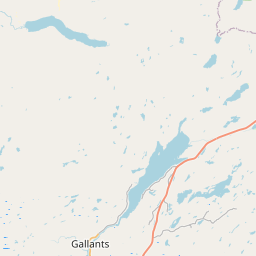
Newfoundland and Labrador Provincial Highways (cannl)
Warning: cannl is a preview system. (?)
.list name: NL NL460
View Connected Route
| Route Stats |
|---|
| Total Length | 53.79 mi |
| Total Drivers | 2 (0.42%) |
| Total Clinched | 1 (0.21%) |
| 50.00% of drivers |
| Average Traveled | 33.84 mi (62.91%) |
| Waypoints |
|---|
| Name | % |
|---|
| End | 0.21% |
| NL463_W | 0.21% |
| RouRou | 0.21% |
| ShipCove | 0.21% |
| NL463_E | 0.21% |
| CamCove | 0.21% |
| FelCove | 0.42% |
| FatJoyRd | 0.42% |
| MainSt_W | 0.42% |
| NL462 | 0.42% |
| GauLn | 0.42% |
| WestSt | 0.42% |
| QueSt | 0.42% |
| NL490 | 0.21% |
| ScoPolTrl | 0.21% |
| SealCoveRd | 0.21% |
| NL461 | 0.21% |
| BlaDuck | 0.21% |
| NL1 | |
https://travelmapping.net/hb/showroute.php?r=nl.nl460&lat=48.53692635818884&lon=-58.74847600000001&zoom=10