Travel Mapping database update in progress. Some functionality might
not work. Please try again in a few minutes if you notice problems.
Georgia State Highways (usaga)
.list name: GA GA127
View Connected Route
| Route Stats |
|---|
| Total Length | 178.97 mi |
| Total Drivers | 55 (11.60%) |
| Total Clinched | 8 (1.69%) |
| 14.55% of drivers |
| Average Traveled | 73.45 mi (41.04%) |
| Waypoints |
|---|
| Name | % |
|---|
| US50/83Bus | 2.53% |
| CamDr | 2.95% |
| US50/83 | 4.01% |
| FarRd | 4.01% |
| LoweRd | 4.01% |
| SheRd | 4.01% |
| MenRd | 4.01% |
| HafRd | 4.01% |
| KS23_N | 4.22% |
| KS23_S | 3.80% |
| CoLineRd | 3.80% |
| CR202 | 3.80% |
| CR210 | 3.80% |
| CR213 | 3.80% |
| CR214 | 3.80% |
| US283 | 4.22% |
| CRM | 4.22% |
| BazRd | 4.22% |
| GarRd | 4.22% |
| CR232 | 4.22% |
| LocSt | 4.22% |
| PawSt | 4.22% |
| US183 | 5.06% |
| 180thAve | 5.27% |
| OldKS242 | 5.06% |
| KS264 | 5.06% |
| US56_W | 6.12% |
| TraSt | 6.12% |
| ORD | 6.12% |
| 70thRd | 6.12% |
| 110thAve_Paw | 6.12% |
| 60thAve | 6.12% |
| 50thAve | 6.12% |
| AirRd | 6.12% |
| 10thRd_Gre | 5.91% |
| 10thSt | 6.12% |
| KS96_W | 7.81% |
| WasSt | 7.81% |
| US281 | 9.28% |
| OldUS281Byp | 9.28% |
| US56_E | 5.06% |
| 50thRd | 5.06% |
| KS4 | 5.27% |
| MainSt | 5.06% |
| 10thRd_Ell | 5.06% |
| KS14 | 5.70% |
| BlaSt | 5.70% |
| 8thSt | 5.70% |
| KS140 | 4.43% |
| AveI | 4.43% |
| KS111 | 4.85% |
| I-70 | |
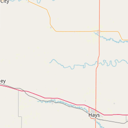
https://travelmapping.net/hb/showroute.php?r=ga.ga127&lat=38.41827532410226&lon=-99.4906855&zoom=9


