Travel Mapping database update in progress. Some functionality might
not work. Please try again in a few minutes if you notice problems.
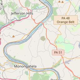
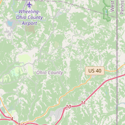
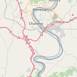
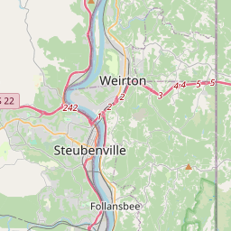
North Rhine-Westphalia Landesstraßen (deunwl)
.list name: DEU-NW L132
View Connected Route
| Route Stats |
|---|
| Total Length | 18.60 mi |
| Total Drivers | 23 (4.85%) |
| Total Clinched | 8 (1.69%) |
| 34.78% of drivers |
| Average Traveled | 9.66 mi (51.94%) |
| Waypoints |
|---|
| Name | % |
|---|
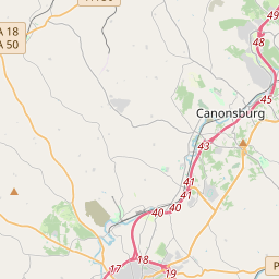
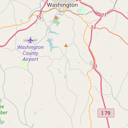
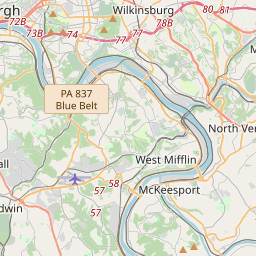
| US40 | 3.38% |
| RobRd | 3.38% |
| I-70 | 3.16% |
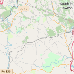
| PA136 | 2.95% |
| ChrRd | 2.95% |
| BerDr | 2.95% |
| BroRd | 3.16% |
| Tho84Rd | 2.95% |
| WilRd | 2.95% |
| LinRd | 2.95% |
| US19 | 2.95% |
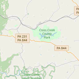
| PA980 | 2.95% |
| *OldPA519 | 2.95% |
| I-79 | 2.11% |
| PikeSt_N | 1.90% |
| PikeSt_S | 1.69% |
| KinRd | 1.69% |
| HorRd | 1.69% |
| PleRd | 1.69% |
| PA50 | |
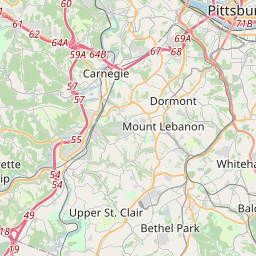
https://travelmapping.net/hb/showroute.php?r=deunw.l132&lat=40.21443460885233&lon=-80.21406749999998&zoom=11